
News April 10, 2026
Coin Found in Chile Accords with Account of Spanish Colony's Foundation
News April 10, 2026
DNA Study Reveals Relationships in South Korean Three Kingdoms–Era Graves
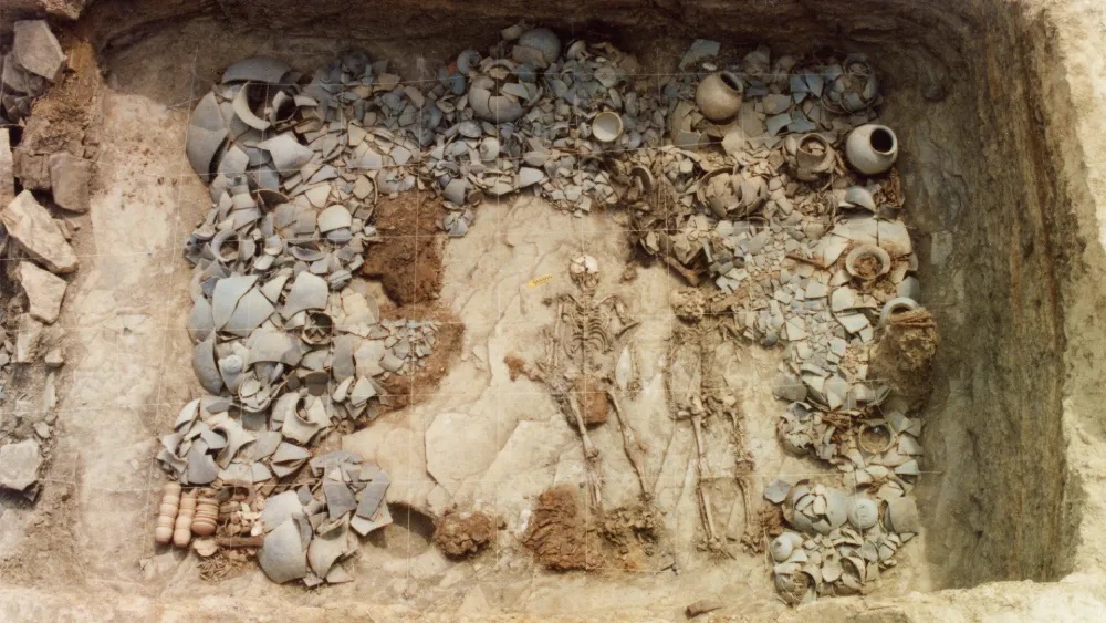
Gyeongsan City
News April 10, 2026
Study Reviews Seal Tooth Pendant from Kent’s Cavern
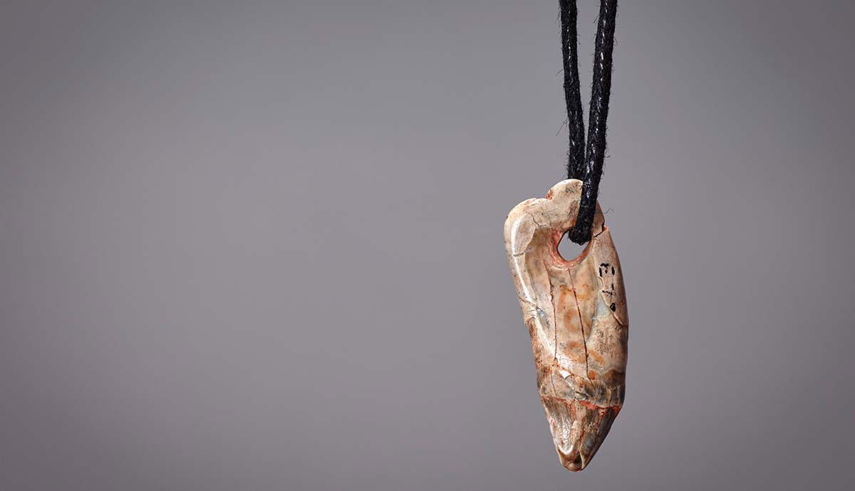
© The Trustees of the Natural History Museum
News April 9, 2026
Milk Beverage Residues Detected on Neolithic Pottery in Poland
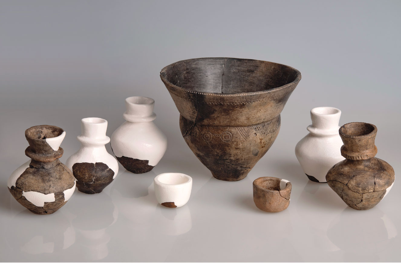
© W. Ochotny
News April 9, 2026
Byzantine Fortified Monastery Identified in Spain

Wikimedia Commons
News April 9, 2026
Kiln Discovered at Thomas Jefferson’s Monticello
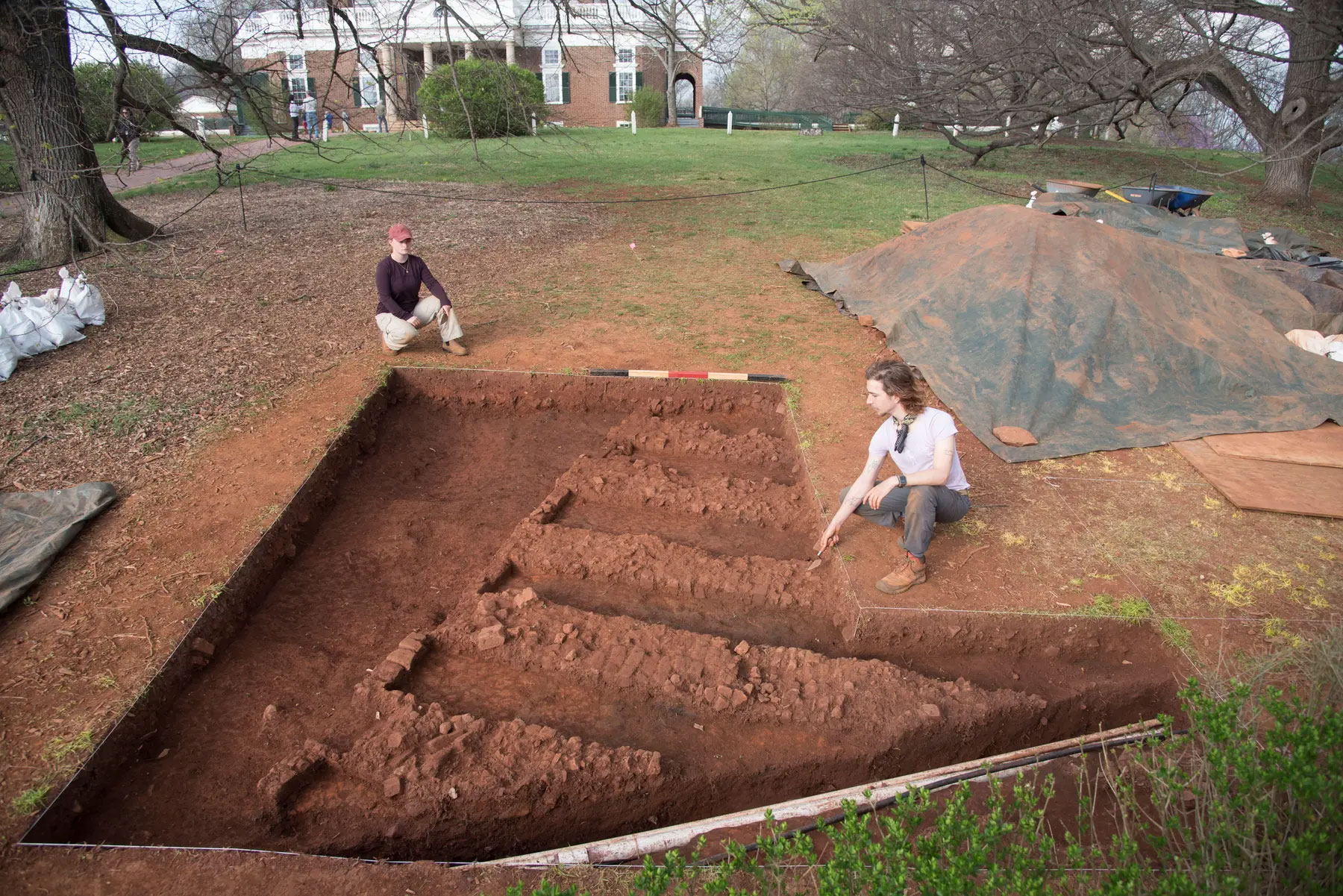
Crystal O'Connor and Fraser Neiman
News April 8, 2026
Possible Church Walls Found Under Cathedral in Belgium

Ad Meskens/WIkimedia Commons
News April 8, 2026
220,000-Year-Old Quarry Site in South Africa Studied
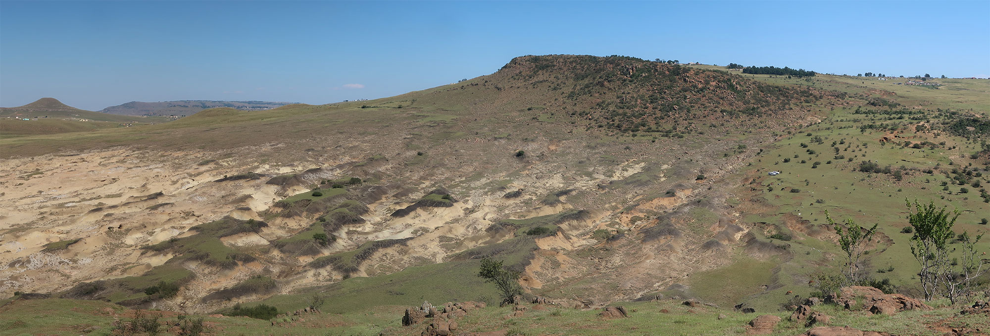
University of Tübingen/Christian Sommer
News April 7, 2026
Midden Island Identified in Fiji Archipelago
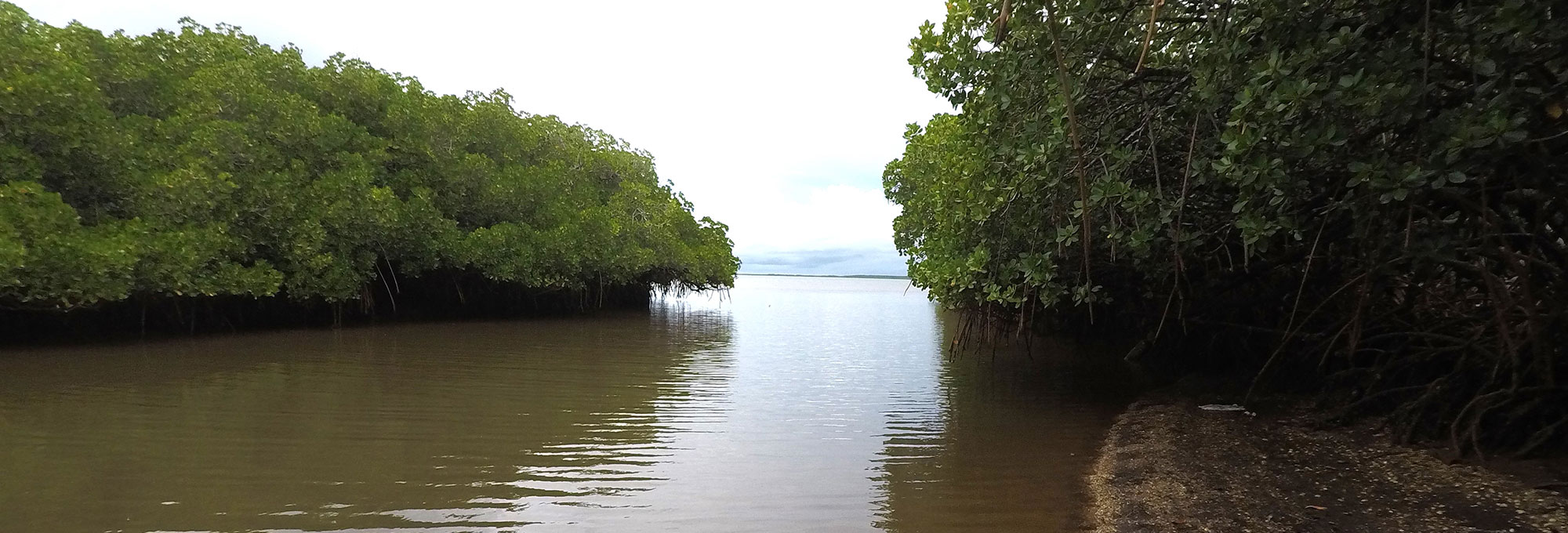
Patrick Nunn
News April 7, 2026
Ancient Papyrus Reveals New Lines of Greek Philosophy

University of Liège/N.Carlig
NEVER MISS AN UPDATE
Sign up for our monthly e-Update which includes highlights of the current issue, links to special collections from the magazine’s archive, and opportunities available only for subscribers.