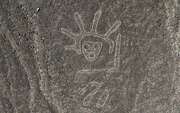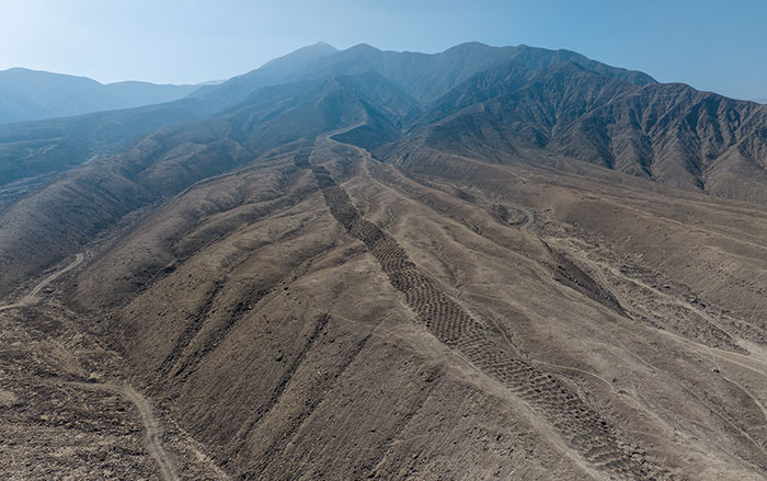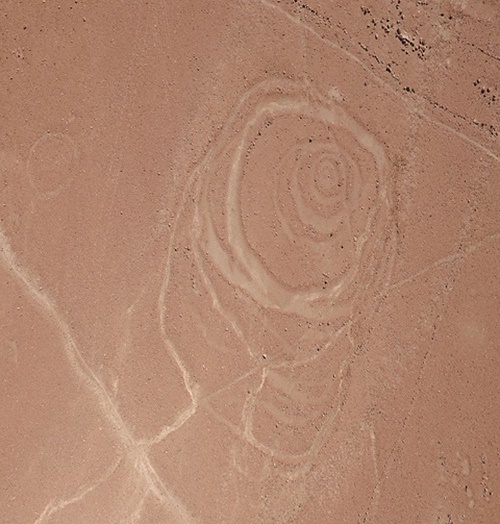
TORONTO, CANADA—Live Science reports that dozens of circular geoglyphs of varying sizes have been recorded in southern Peru, near the ancient town of Quilcapampa. Many of the images, dated to between A.D. 1050 and 1400, were created by removing stones from the surface of the ground. Justin Jennings of the Royal Ontario Museum and his colleagues mapped the intertwined rings with satellite imagery, aerial drones, and ground surveys, and found that they had been placed near trade routes. The researchers suggest that the circular images may reflect the continuous movement of people, goods, and food along the route linking the coast and the highland. Some of the geoglyphs are accompanied by cairns, or rock piles, as part of the design. To read about another massive site in Peru, go to "An Overlooked Inca Wonder."