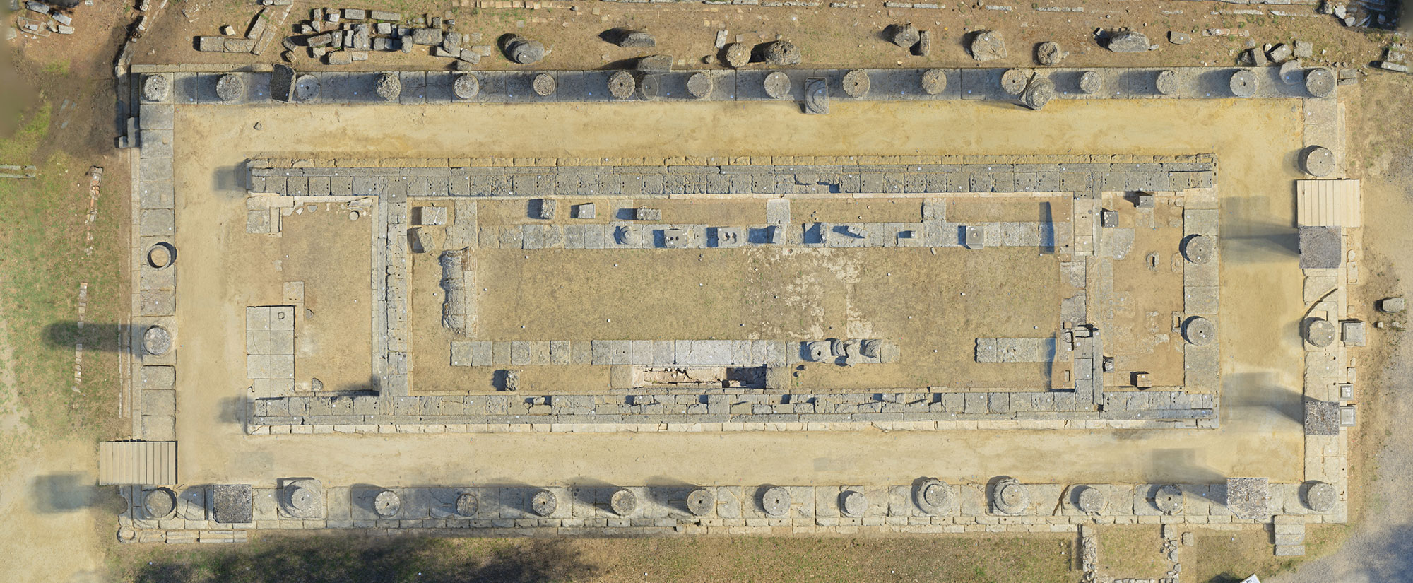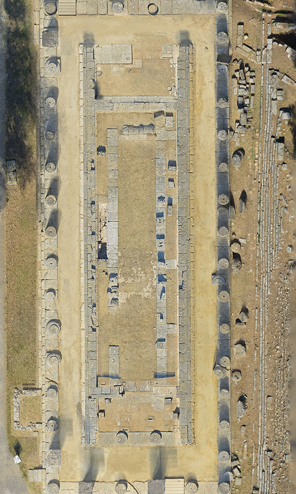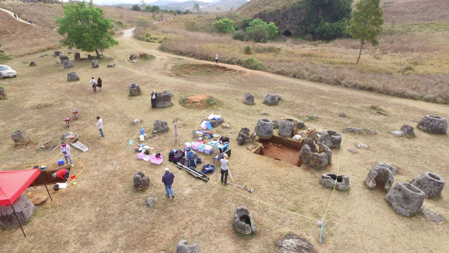
CANBERRA, AUSTRALIA—The Canberra Times reports that CAVE2 technology, based at Monash University, has been used to map three excavation sites on the Plain of Jars, an archaeological site in a remote area of Laos with carved stone jars that stand nearly ten feet tall. Drones are being used to collect the footage for the project. The team of researchers will then create a 3-D replica of the excavations and the entire Plain of Jars landscape. “It hasn’t really been researched on this scale since the 1930s and what our project hopes to show is exactly what the jars were for, when they were produced, and who made them,” said Dougald O’Reilly of Australian National University. Information collected with ground-penetrating radar was fed into the CAVE2 system to create the underground view of the excavation area. O’Reilly also plans to evaluate the site with lidar technology, which can detect archaeological remains beneath heavy foliage, and add that information to the virtual 3-D reconstruction. For more, go to “Drones Enter the Archaeologist's Toolkit.”