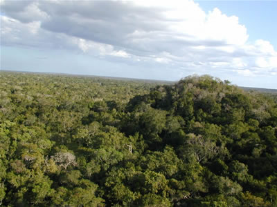
MIRADOR BASIN, GUATEMALA—Seeker reports that the Light Detection and Ranging tool, or lidar, has been used by researchers with the Mirador Basin Project to scan more than 430 square miles of jungle in Guatemala’s northern Petén region. The data collected with the technology was used to produce a detailed map of a 150-mile-long network of 17 Maya roads, first discovered in 1967. “The creation of these causeways allowed the unification of what appears to be the first state-level society in the Western Hemisphere,” said team leader Richard D. Hansen of the University of Utah. Trade goods, tribute, rulers, and armies could have traveled from city to city along the system of highways. The lidar scans also detected a system of corrals which may have been used to raise livestock for food on an industrial scale. The food could also have been distributed using the road system. The new research could help scientists understand why the Maya civilization in the Mirador Basin declined after A.D. 150. To read more about the Maya, go to “Tomb of the Vulture Lord.”