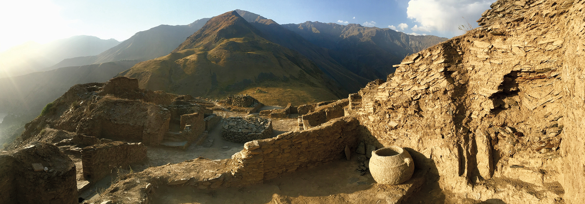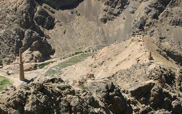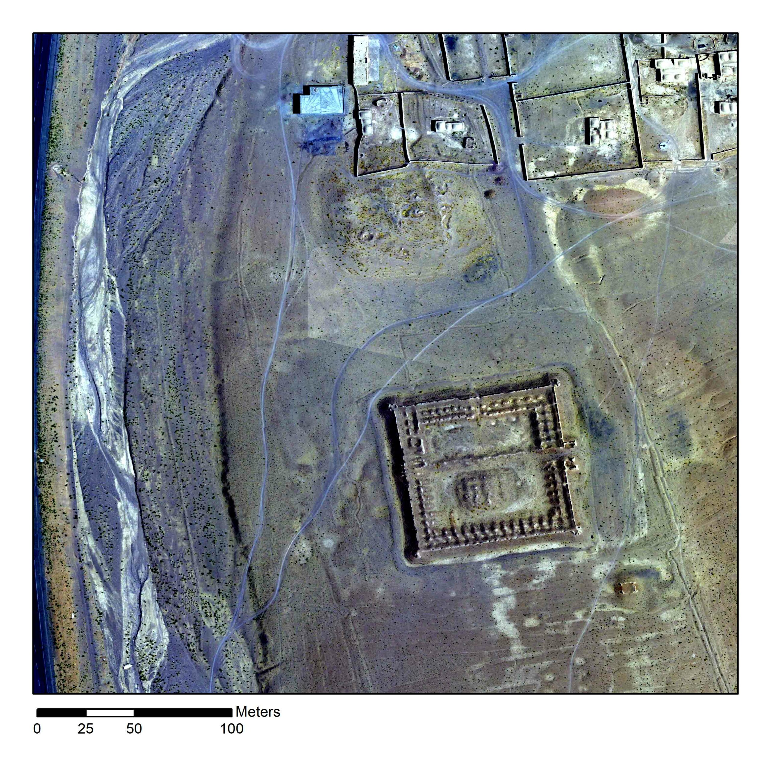
CHICAGO, ILLINOIS—According to a report in Science Magazine, researchers are using images taken by commercial and United States government satellites and military drones to look for archaeological sites in areas of Afghanistan that are too dangerous for fieldwork. Funded by the U.S. Department of State, the Afghan Heritage Mapping Partnership has tripled the number of recorded archaeological features in Afghanistan to more than 4,500. Among the discoveries, the team members have identified 119 caravanserais dating to the late sixteenth and early seventeenth centuries. These vast mudbrick buildings, which each had room to shelter hundreds of travelers and thousands of camels, lined routes linking Isfahan, the capital of the Safavid Empire, located in what is now Iran, and the Mughal Empire in the Indian subcontinent. It had been thought that land travel declined after the Portuguese developed trade routes across the Indian Ocean in the sixteenth century. “But this shows a huge infrastructure investment of the Safavids a century later,” said Kathryn Franklin of the University of Chicago. To read about another recent discovery made using aerial and satellite imagery, go to “Hot Property.”