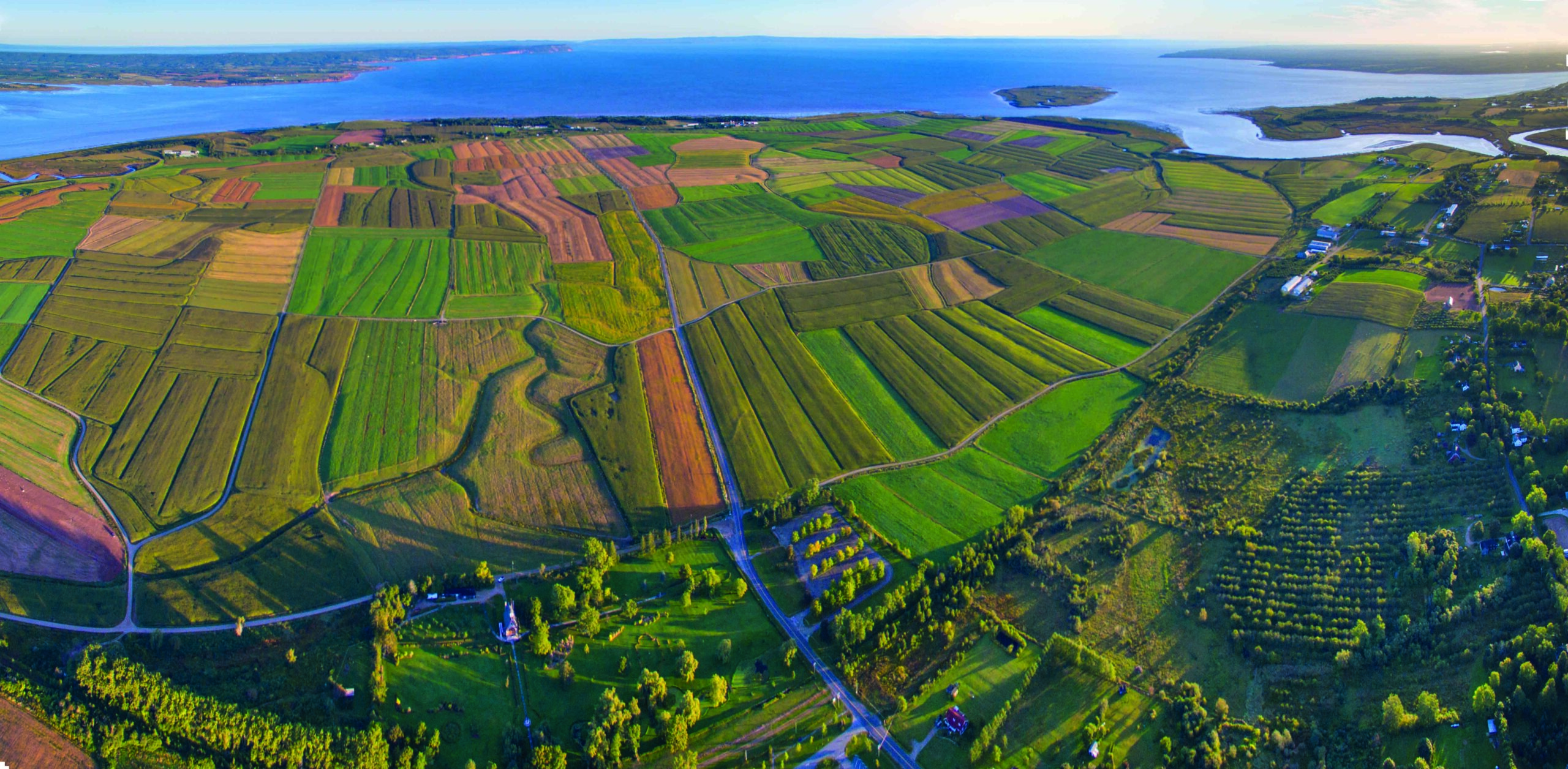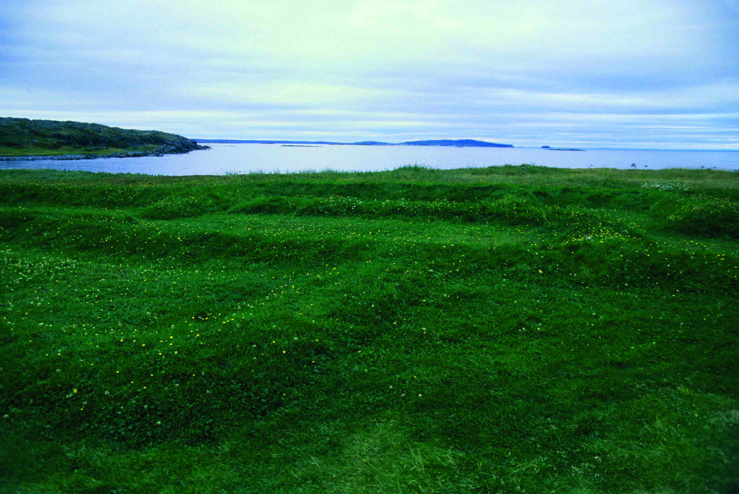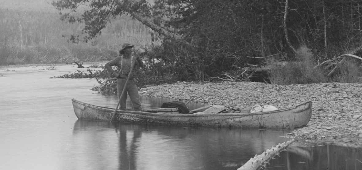
NEW BRUNSWICK, CANADA—CBC News reports that Chris Shaw of the University of New Brunswick has created a computer model to investigate possible birch-bark canoe routes through the territory inhabited by the members of the Wabanaki Confederacy. That territory stretches from Nova Scotia, Prince Edward Island, and New Brunswick, across Maine and into parts of Quebec. The model analyzes data on water levels during the different seasons, and known archaeological sites of the Wabanaki nations. “Those environmental changes may have affected the ways prehistoric ancestral Wabanaki people would have moved through the landscape, the routes they would have selected, and how long it would take to move to significant places such as archaeological sites in the interior to coastlines,” Shaw said. Mallory Moran of the University of William and Mary is also studying possible First Nations canoe routes through language and place names given to portages. “Many of these routes were part of a seasonal cycle,” she explained. Sometimes the names of the routes indicate they were used for the hunting of specific animals or fish. The routes would also have been traveled to maintain relationships with neighboring nations, added Shane Perley-Dutcher of the Tobique First Nation. To read about another discovery in Canada, go to “Standing Still in Beringia?”