SHARE:
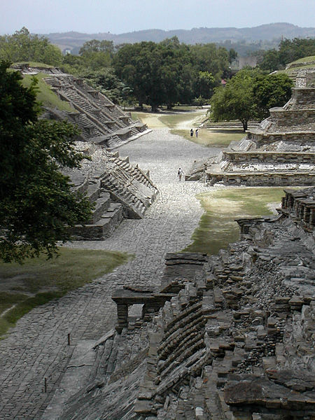
MEXICO CITY, MEXICO—Using LiDar technology, scientists from Mexico’s National Institute of Anthropology and History have found three more ball fields, two raised platforms, and a building that may have housed a large family at the UNESCO World Heritage site of El Tajin. Optical remote sensing technology allows researchers to make precise 3-D maps of areas that are difficult to reach on foot in much less time. Thermal cameras were also employed to examine the site’s monuments. “We took 60 thousand thermographic images and it was beneficial to learn that no important damage had been done to the principal structures of the archaeological zone,” said archaeologist Guadalupe Zetina Gutierrez.