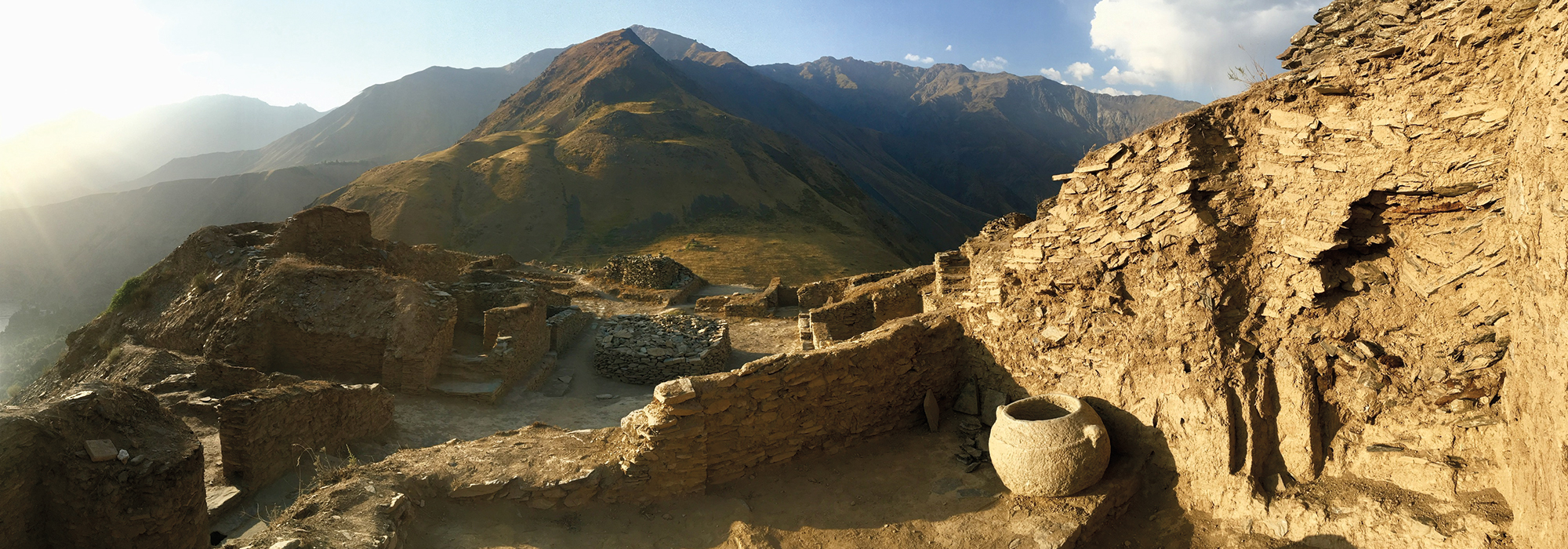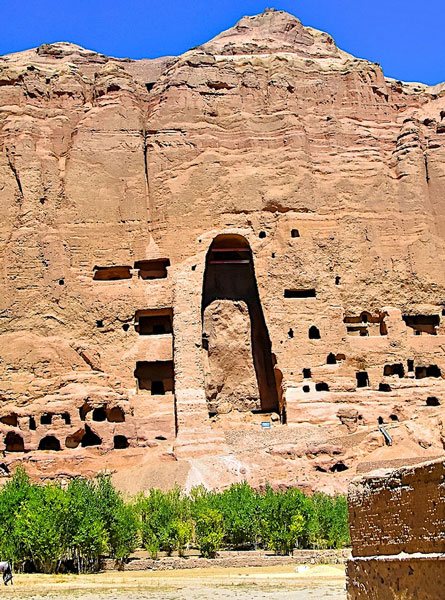
For thousands of years, Afghanistan has provided a passage for conquerors and commerce alike. It has also very often been a place of conflict. For decades, the U.S. Departments of Defense and State have had spy satellites collecting images over the country, some of which they are now sharing with researchers from the University of Chicago’s Afghan Heritage Mapping Project (AHMP). “The imagery is absolutely phenomenal,” says AHMP’s Kathryn Franklin. “Every single day in the lab someone says, ‘Do you see what I’m seeing?’ There’s something a little bit magic in it.”
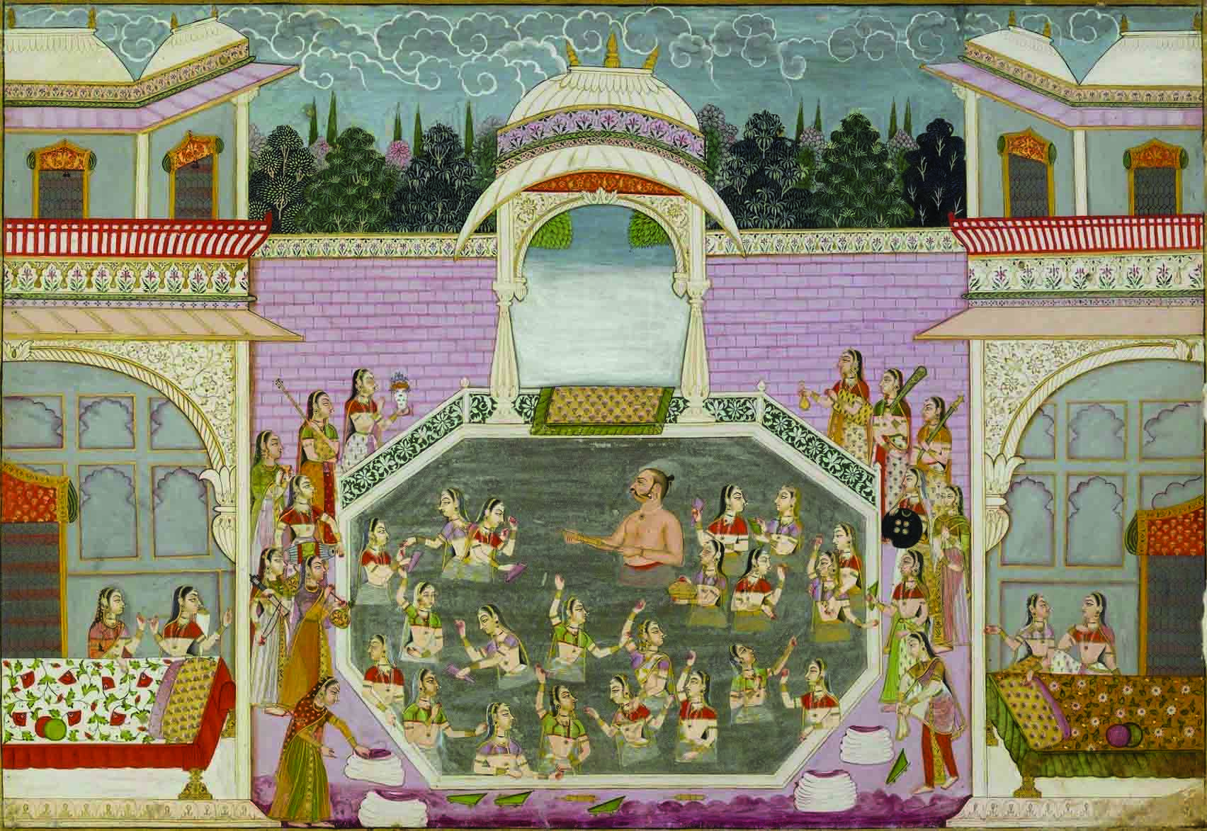
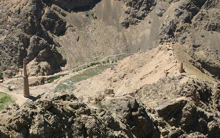
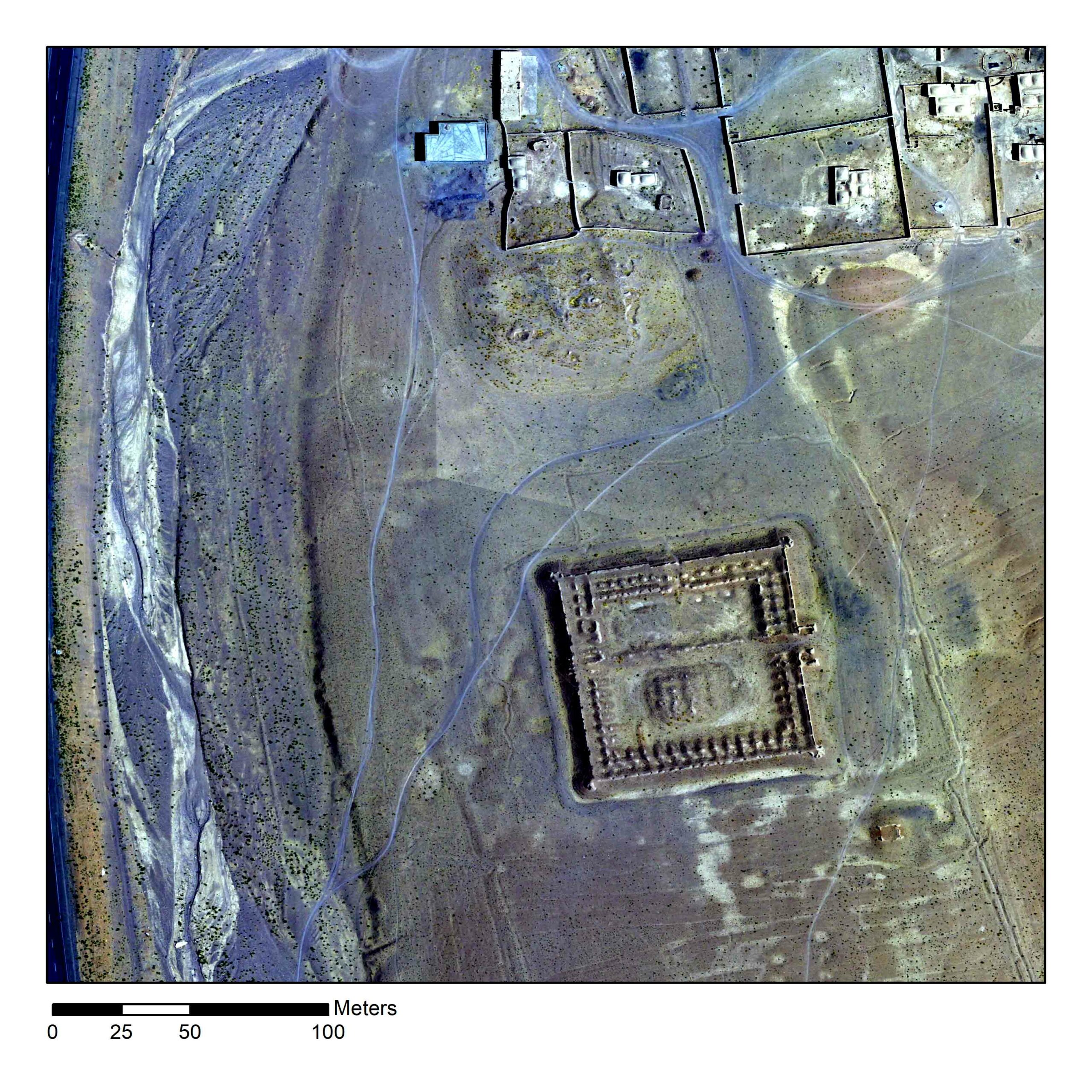
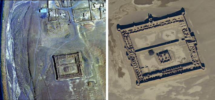
Working with their Afghan colleagues, the AHMP’s goal is to record all of Afghanistan’s cultural features. One of the most recent stunning successes has been the identification of 160 large early modern caravanserais where travelers and traders would stop for the night as they and their camels made their way along the Silk Road carrying gems, spices, sugar, textiles, ceramics, paper, money, and slaves. Apart from their size and frequency, what makes the caravanserais so amazing, explains Franklin, is that the idea has persisted that as soon as people could use boats, they did so exclusively. “But now we have this overwhelming evidence,” she explains, “that these important routes were preserved and maintained by the Persian and Mughal Empires because trade and travel were important not just economically, but to their ideas of how to be a rich and powerful state.”