Top 10
Bronze Age Map
By DANIEL WEISS
Friday, December 03, 2021
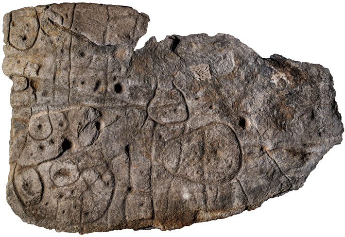 When a team of researchers led by Clément Nicolas, an archaeologist at Bournemouth University, first saw archival photographs of a broken schist slab held at France’s National Archaeology Museum, they were intrigued. Because the seven-by-five-foot slab was carved with repeated motifs linked by a network of lines, they suspected it might be some sort of map. The slab had been excavated in 1900 from a barrow in Brittany, where it formed one of the walls of a stone tomb dating to the end of the Early Bronze Age, from roughly 1900 to 1640 B.C. The artifact, which weighs more than a ton, had been in storage for over a century when Nicolas and his colleagues, including Yvan Pailler of the University of Western Brittany and France’s National Institute of Preventive Archaeological Research, retrieved it to take a closer look.
The archaeologists recognized that a triangular hollow at the slab’s left edge resembles the shape of the Odet River Valley near where it was discovered. A square motif in this hollow appears to represent a prominent granite mass in the landscape. Likewise, the lines on the slab closely match the area’s river network. Nicolas’ team concluded that the slab is a map of an area measuring some 19 miles by 13 miles and that it dates to approximately 2150 to 1600 B.C. “This is the oldest map of a territory that we can recognize in Europe,” says Nicolas. A motif in the center of the slab may mark an enclosure, leading the researchers to suggest that the map depicts the realm of a small Bronze Age kingdom and that its purpose was to stake a claim to this territory.
Rare Boundary Marker
By JASON URBANUS
Friday, December 03, 2021
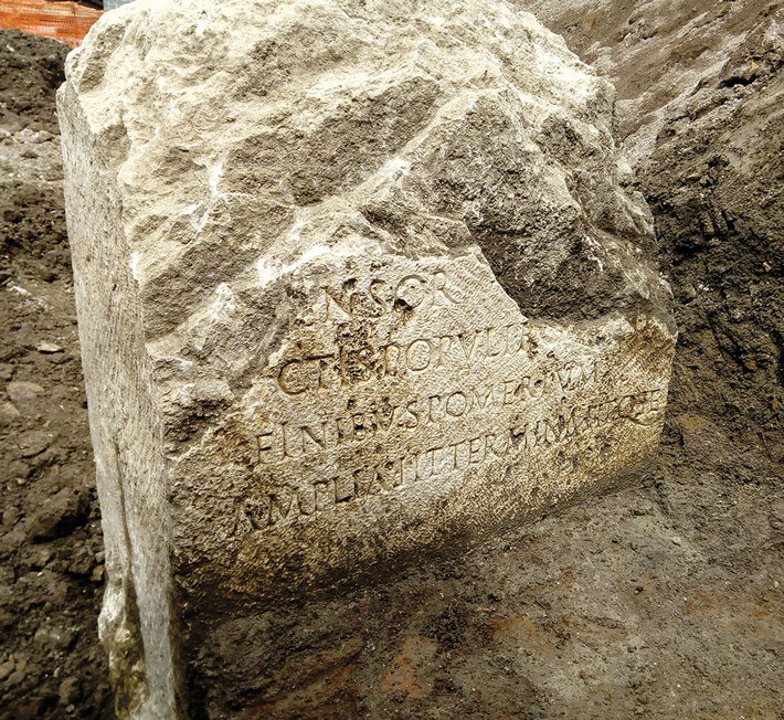 A rare stone that once demarcated the boundary of ancient Rome’s sacred precinct was unearthed by workers renovating the city’s sewer system. The six-foot-tall limestone block was found embedded in the ground where it had been placed almost 2,000 years ago and is one of only 10 of its kind ever discovered. The marker, which is known as a cippus, was one of dozens that were installed around the city to mark the pomerium, a hallowed zone where activities were dictated by a strict set of rules. For example, no one could be buried within its limits, and crossing the boundary bearing arms was forbidden. This symbolic barrier was the border between Rome proper—the urbs—and its outlying territory—the ager—and separated religious activities from civic and military life.
The pomerium was periodically expanded as Rome grew outward from its original core. Roman legend holds that Romulus, the city’s mythical founder, created the original pomerium in the eighth century B.C. around his fledgling settlement. An inscription on the newly discovered cippus indicates it was erected in A.D. 49, when the emperor Claudius (r. A.D. 41–54) significantly redrew the city’s limits.
Crusader Mass Grave
By MARLEY BROWN
Friday, December 03, 2021
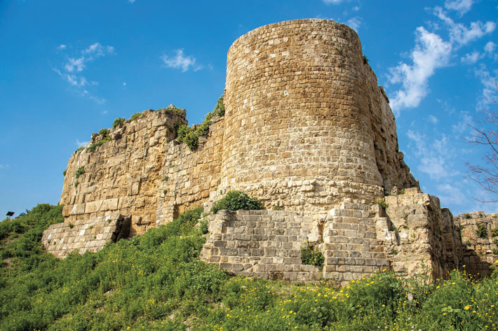
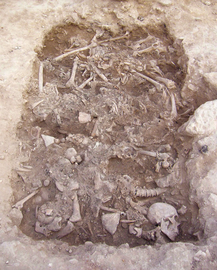 A mass burial containing the remains of at least 25 soldiers who were killed defending Christian-held Sidon during the Crusades was uncovered during excavations close to the town’s Saint Louis Castle. Archaeologists uncovered a belt buckle of a style worn by French-speaking Crusaders, as well as a coin dating to between 1245 and 1250. These objects led them to conclude that the men were likely killed during a 1253 attack by an army of the Mamluk Sultanate, an Islamic empire that spanned Egypt, much of the Levant, and part of the Arabian Peninsula from 1250 to 1517. Bournemouth University archaeologist Richard Mikulski says the large number of wounds to the men’s necks suggests they were killed by assailants on horseback wielding heavy medieval weapons, such as swords, axes, and war clubs or maces, possibly while fleeing. This is one of only two archaeologically documented mass burials of Crusaders. “For a period that is meant to be so full of violence and conflict,” says Mikulski, “we actually have very little physical evidence of battle from the Crusades.”
When the Vikings Crossed the Atlantic
By DANIEL WEISS
Friday, December 03, 2021
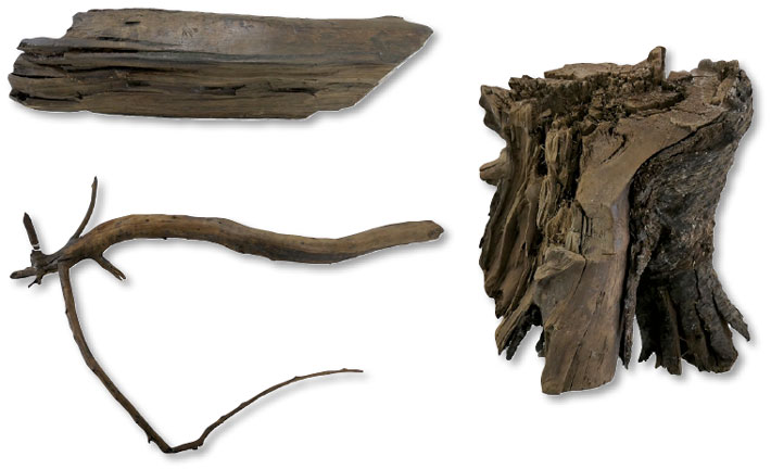
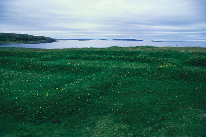 When a settlement at L’Anse aux Meadows, at the northern tip of Newfoundland, was first excavated in the 1960s, the style of its buildings made clear they were constructed by Vikings who had arrived from Greenland in the tenth or eleventh century. But exactly when they made their voyage, becoming the first Europeans to cross the Atlantic Ocean, was a matter of debate. Now, a team of researchers led by Margot Kuitems of the University of Groningen has used a new method of dating wood associated with the settlement to determine precisely when the Vikings were there. The researchers took advantage of a rare solar storm that occurred in A.D. 992, significantly increasing the amount of radioactive carbon-14 absorbed by trees the next year. By identifying the tree ring containing elevated levels of radiocarbon in each of three wood samples and then counting the number of rings to the bark edge of the wood, they found that the wood all came from trees that had been felled in A.D. 1021.
The Vikings do not appear to have intended to colonize L’Anse aux Meadows, says Birgitta Wallace, a retired Parks Canada archaeologist who has worked at the site for decades. “It was a base for further exploration, a gateway to other sites,” she says. “They were going to see what there was in this new territory that could benefit them.” Among the coveted resources they collected from farther south, most likely from present-day New Brunswick, were hardwood lumber, butternuts, and possibly even grapes. After a decade or so, the Vikings headed back across the seas. “They decided, ‘It is very good land, but there is danger here because of the Indigenous people,’” says Wallace, “‘so we’ll go home to Greenland and stay there.’”
Slave Tag
By MARLEY BROWN
Friday, December 03, 2021
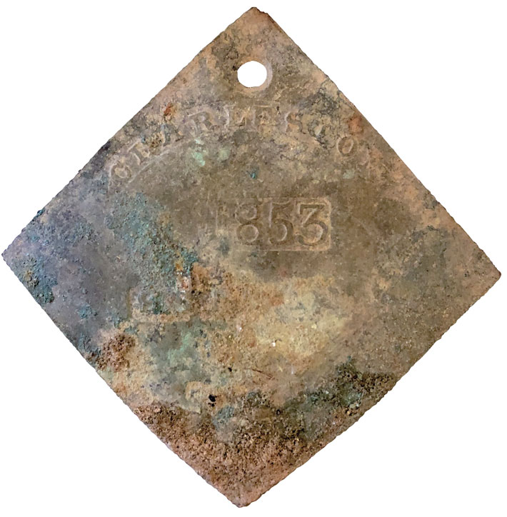 A tag worn by an enslaved person who was hired out by his or her enslaver has been discovered in the remnants of a mid-nineteenth-century kitchen on the campus of the College of Charleston. Such tags, which were issued from the late eighteenth century until 1865, bore registration numbers and identified enslaved people by their trades, such as carpenter, blacksmith, fisherman, or domestic servant. This example, badge number 731, dates to 1853 and is stamped with the word “servant.”
While other southern cities had similar hired labor arrangements, Charleston is the only one that produced such tags, says archaeologist R. Grant Gilmore III of the College of Charleston. “What is uncommon about this discovery is that this object was found in context, unlike many other examples now in the hands of private collectors that have no provenance,” he says. “An enslaved person living in the house may have discarded the tag in the hearth, or someone on loan from across town may have lost it one day.” Property records for the kitchen and those who worked in it may help connect the object with specific enslaved individuals. “These objects are emblematic of urban slavery and the way it worked in Charleston,” says Bernard Powers, a College of Charleston historian. “You have a designation of an occupation and a connection to an individual that breaks through an amorphous group of enslaved humanity and allows for an identity and a personhood to emerge.”
Advertisement
Advertisement
IN THIS ISSUE
Advertisement

Recent Issues
-
 May/June 2024
-
 March/April 2024
-
 January/February 2024
-
 November/December 2023
-
 September/October 2023
-
 July/August 2023
-
 May/June 2023
-
 March/April 2023
-
 January/February 2023
-
 November/December 2022
-
 September/October 2022
-
 July/August 2022
-
 May/June 2022
-
 March/April 2022
-
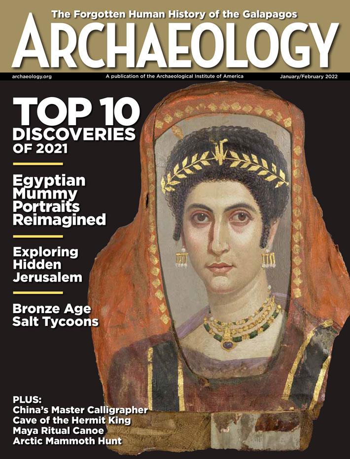 January/February 2022
-
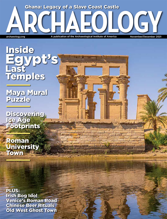 November/December 2021
-
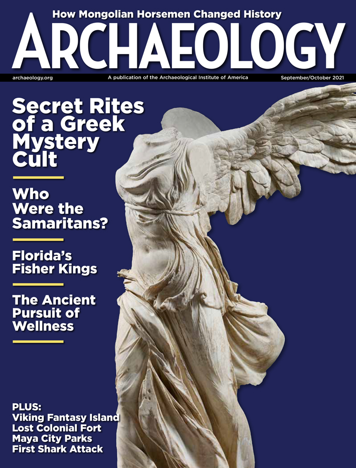 September/October 2021
-
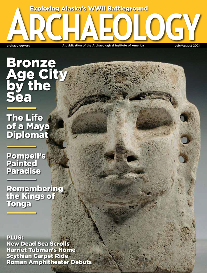 July/August 2021
-
 May/June 2021
-
 March/April 2021
-
 January/February 2021
-
 November/December 2020
-
 September/October 2020
-
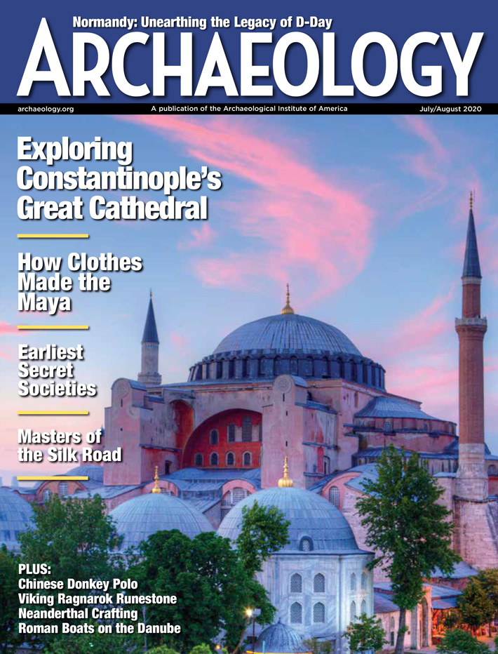 July/August 2020
-
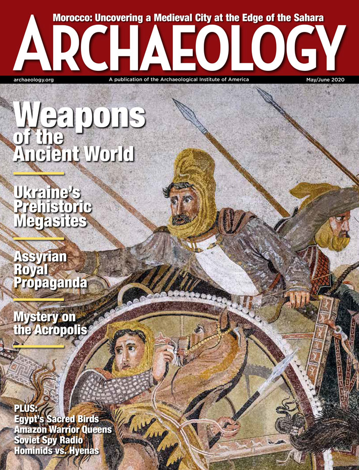 May/June 2020
-
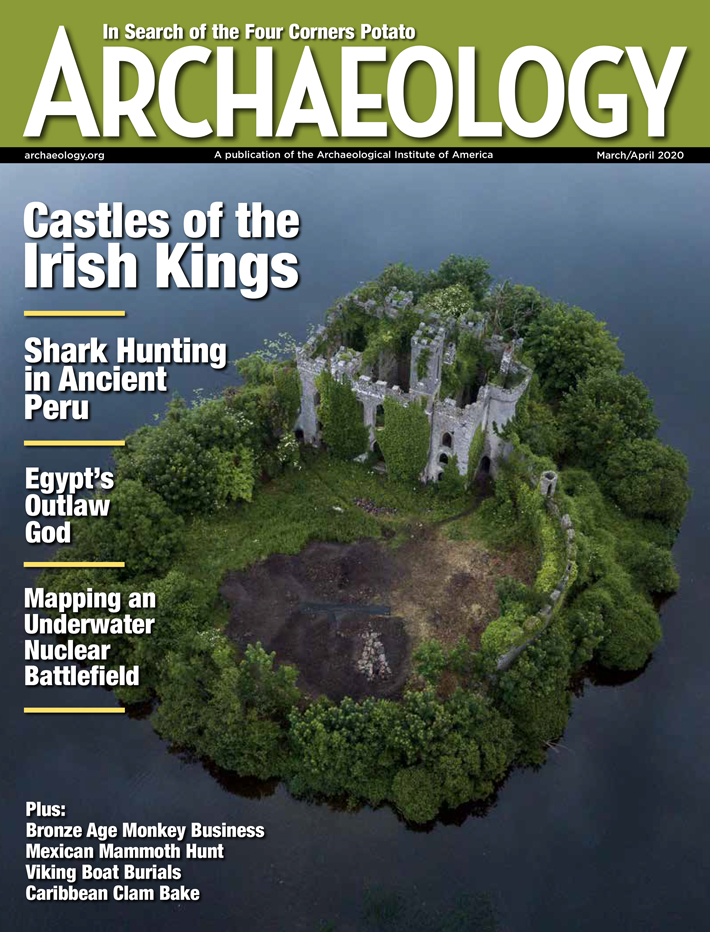 March/April 2020
-
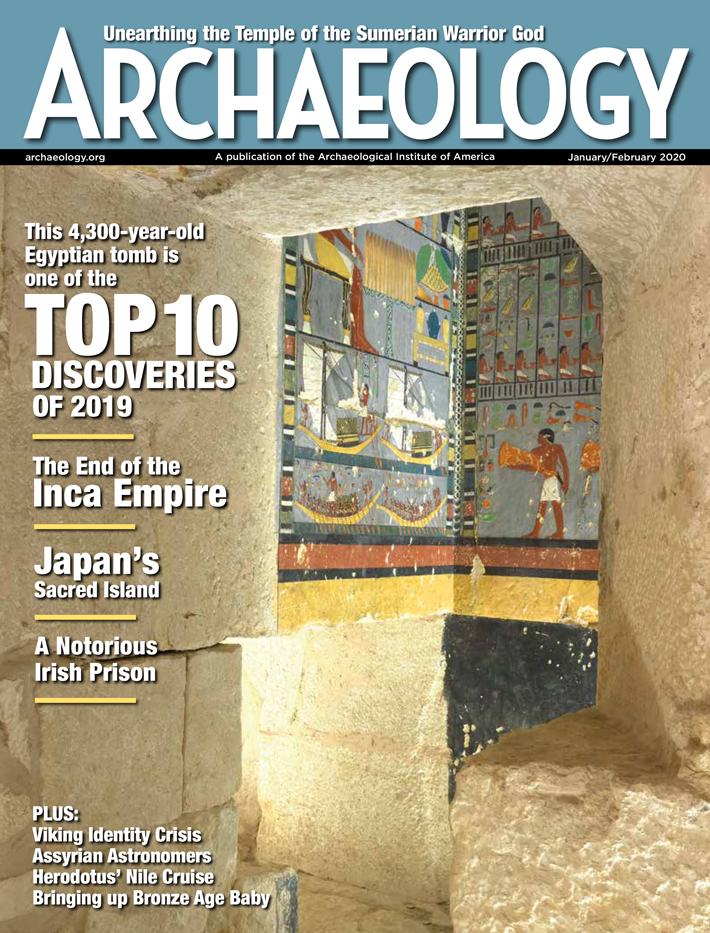 January/February 2020
-
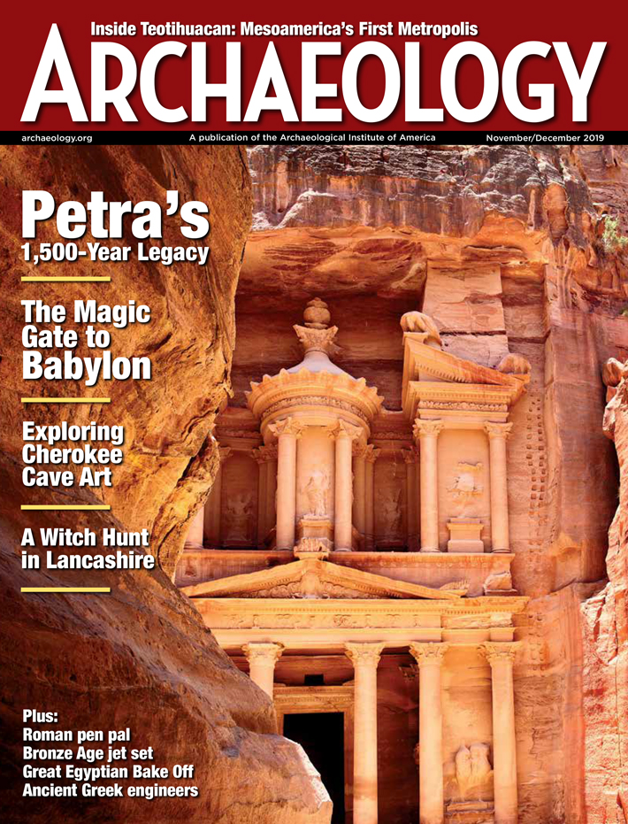 November/December 2019
-
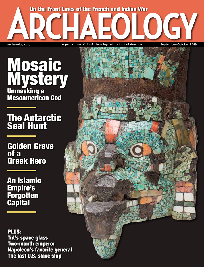 September/October 2019
-
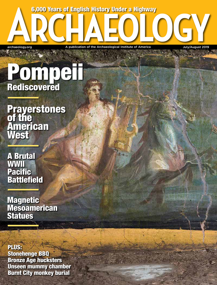 July/August 2019
-
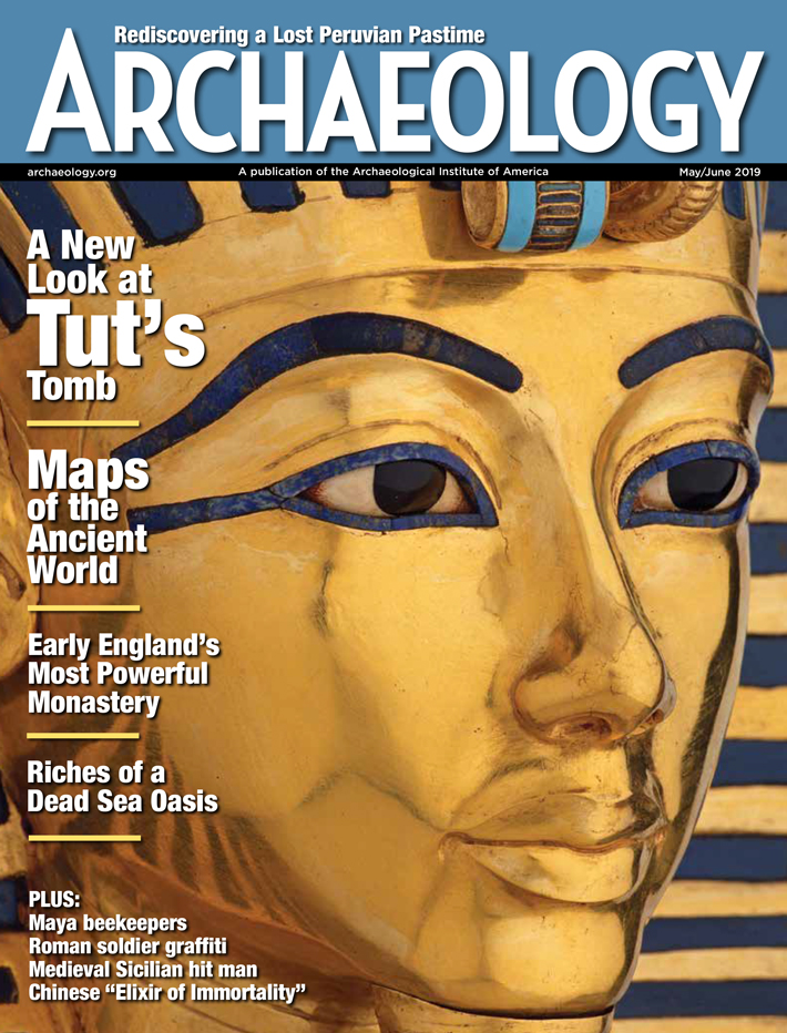 May/June 2019
-
 March/April 2019
-
 January/February 2019
-
 November/December 2018
-
 September/October 2018
-
 July/August 2018
-
 May/June 2018
-
 March/April 2018
-
 January/February 2018
-
 November/December 2017
-
 September/October 2017
-
 July/August 2017
-
 May/June 2017
-
 March/April 2017
-
 January/February 2017
-
 November/December 2016
-
 September/October 2016
-
 July/August 2016
-
 May/June 2016
-
 March/April 2016
-
 January/February 2016
-
 November/December 2015
-
 September/October 2015
-
 July/August 2015
-
 May/June 2015
-
 March/April 2015
-
 January/February 2015
-
 November/December 2014
-
 September/October 2014
-
 July/August 2014
-
 May/June 2014
-
 March/April 2014
-
 January/February 2014
-
 November/December 2013
-
 September/October 2013
-
 July/August 2013
-
 May/June 2013
-
 March/April 2013
-
 January/February 2013
-
 November/December 2012
-
 September/October 2012
-
 July/August 2012
-
 May/June 2012
-
 March/April 2012
-
 January/February 2012
-
 November/December 2011
-
 September/October 2011
-
 July/August 2011
-
 May/June 2011
-
 March/April 2011
-
 January/February 2011
Advertisement


