
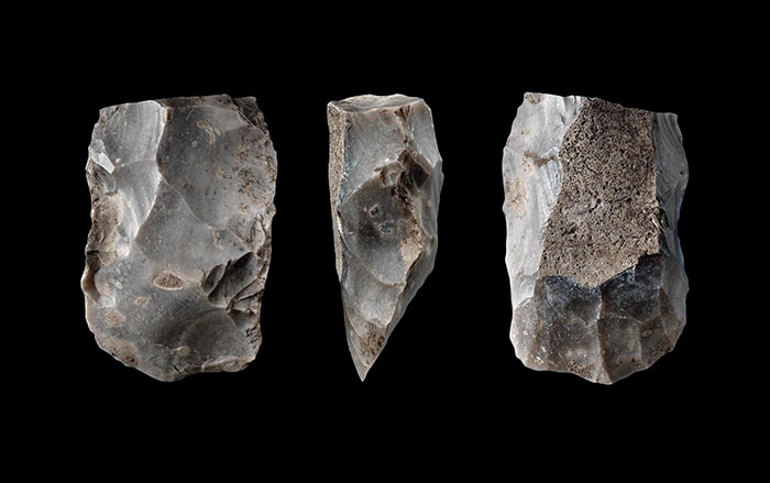
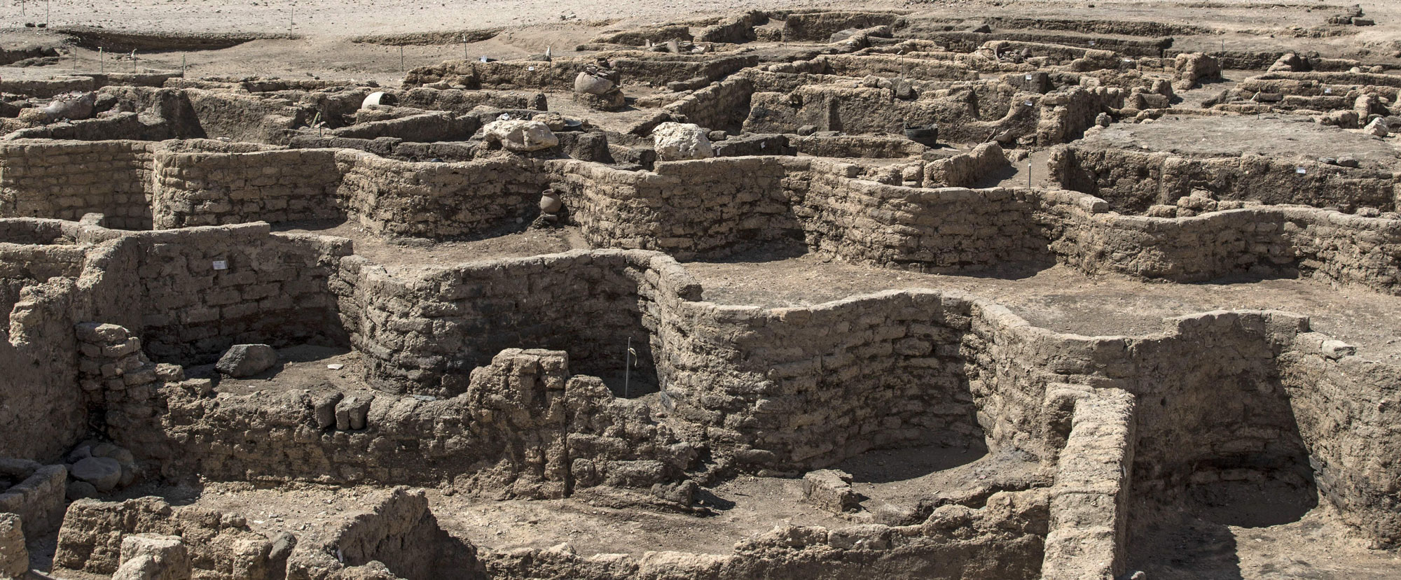
BURNABY, BRITISH COLUMBIA—According to a statement released by Simon Fraser University (SFU), underwater archaeologist Rob Rondeau of SFU and Chris Carleton of the Max Planck Institute for Chemical Ecology developed a predictive model to look for landscapes where nomadic hunter-gatherers may have camped. Known as the Locally-Adaptive Model of Archaeological Potential (LAMAP), it uses information from known archaeological sites to evaluate land that has not been examined by archaeologists for its archaeological potential. The researchers loaded LAMAP with information from the State of Alaska’s Heritage Database about 90 archaeological sites in the Tanana Valley, and then used the model to make predictions about where additional sites might be found. The areas that LAMAP identified as locations with a high potential for archaeological sites turned out to be the locations of many of the remaining sites in the state’s database. Rondeau now plans to use LAMAP to look for prehistoric sites in the deep waters off the coast of British Columbia. Read the original scholarly article about this research in PLOS ONE. To read about a landscape submerged under the North Sea where hunter-gatherers lived more than 8,000 years ago, go to "Letter from Doggerland: Mapping a Vanished Landscape."
New Tool Developed in the Search for Prehistoric Campsites
News March 20, 2022
Recommended Articles
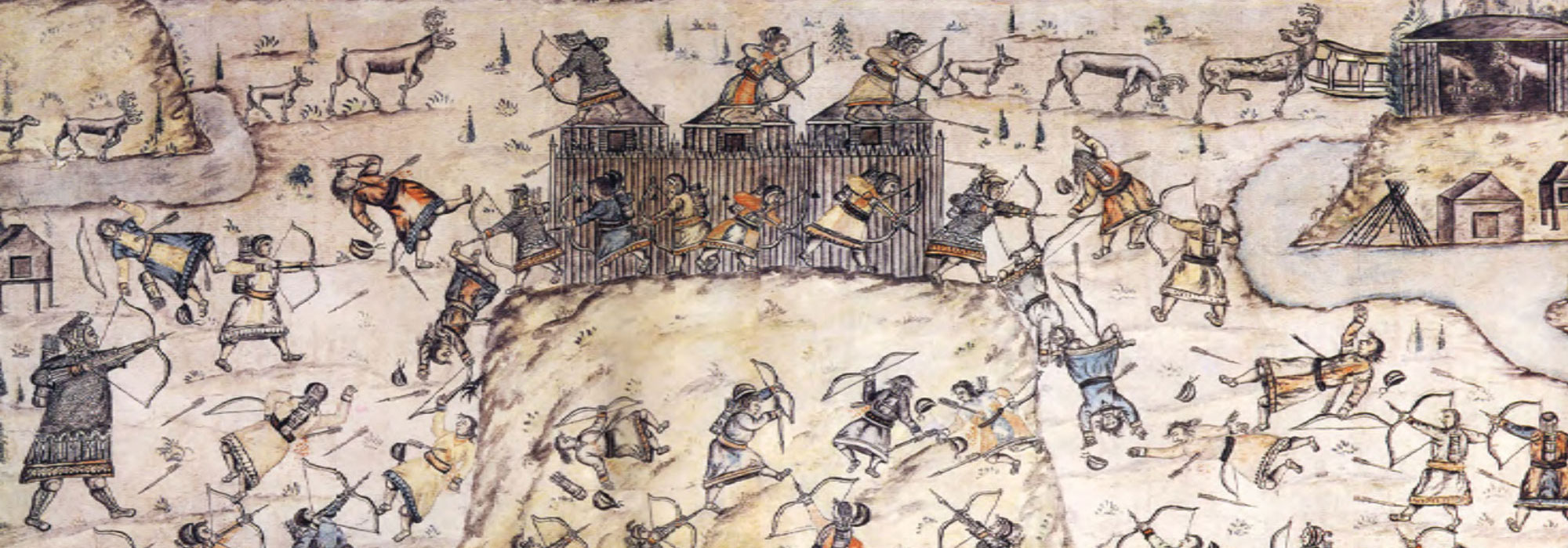
Letter from Siberia September/October 2024
Strongholds of the Taiga
Beginning 8,000 years ago, hunter-gatherers in the forests of northern Russia built some of the world’s earliest fortified settlements
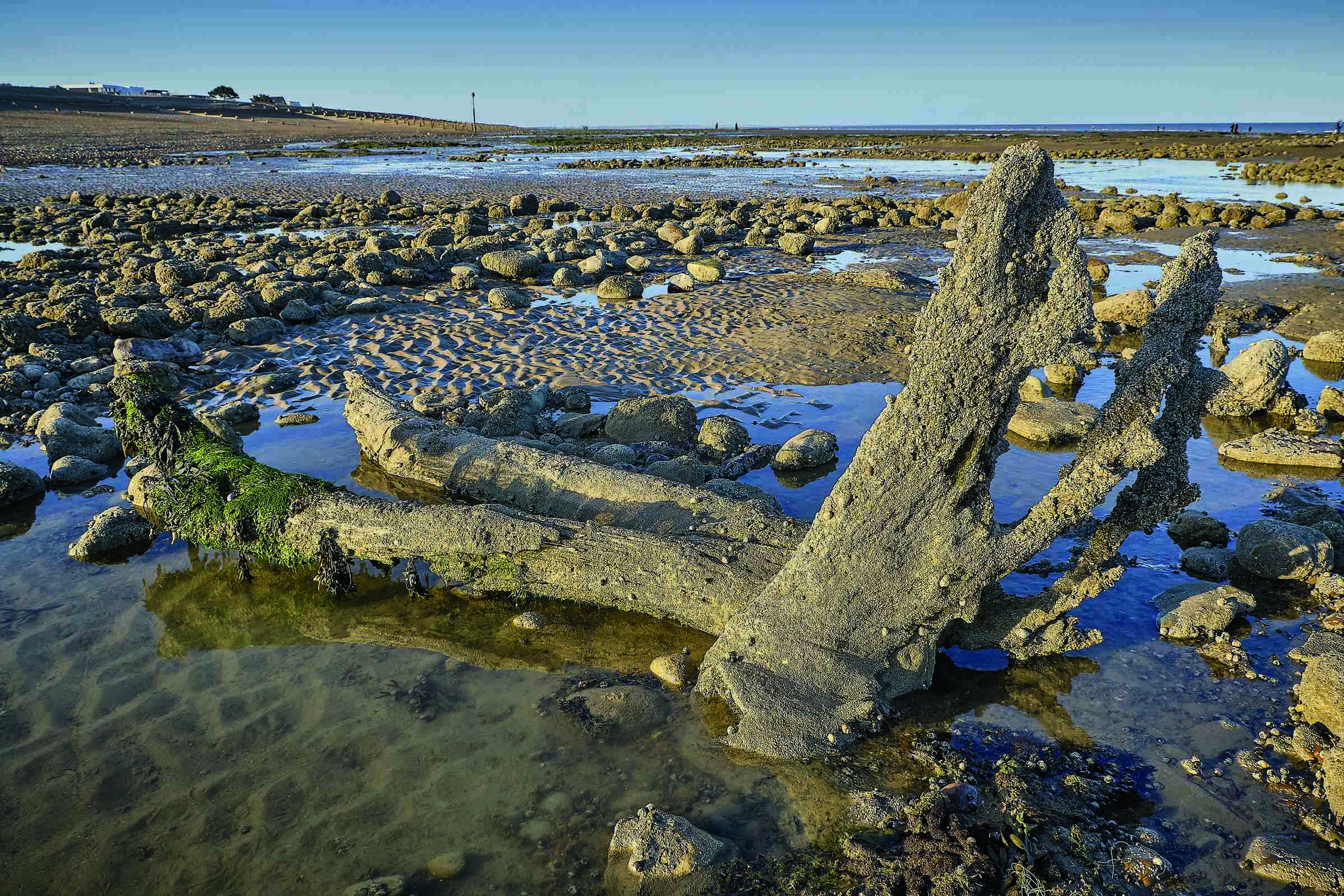
Letter from Doggerland March/April 2022
Mapping a Vanished Landscape
Evidence of a lost Mesolithic world lies deep beneath the dark waters of the North Sea
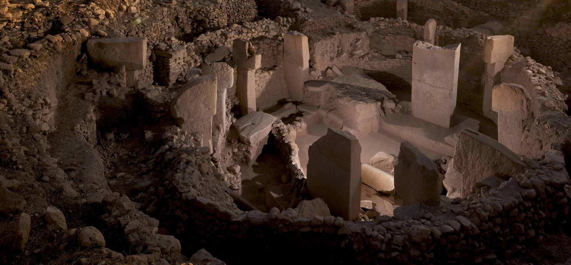
Features May/June 2021
Last Stand of the Hunter-Gatherers?
The 11,000-year-old stone circles of Göbekli Tepe in modern Turkey may have been monuments to a vanishing way of life
More to Discover
Features January/February 2022
Top 10 Discoveries of 2021
ARCHAEOLOGY magazine reveals the year’s most exciting finds
-
Features January/February 2022
At Face Value
Researchers are using new scientific methods to investigate how artists in Roman Egypt customized portraits for the dead
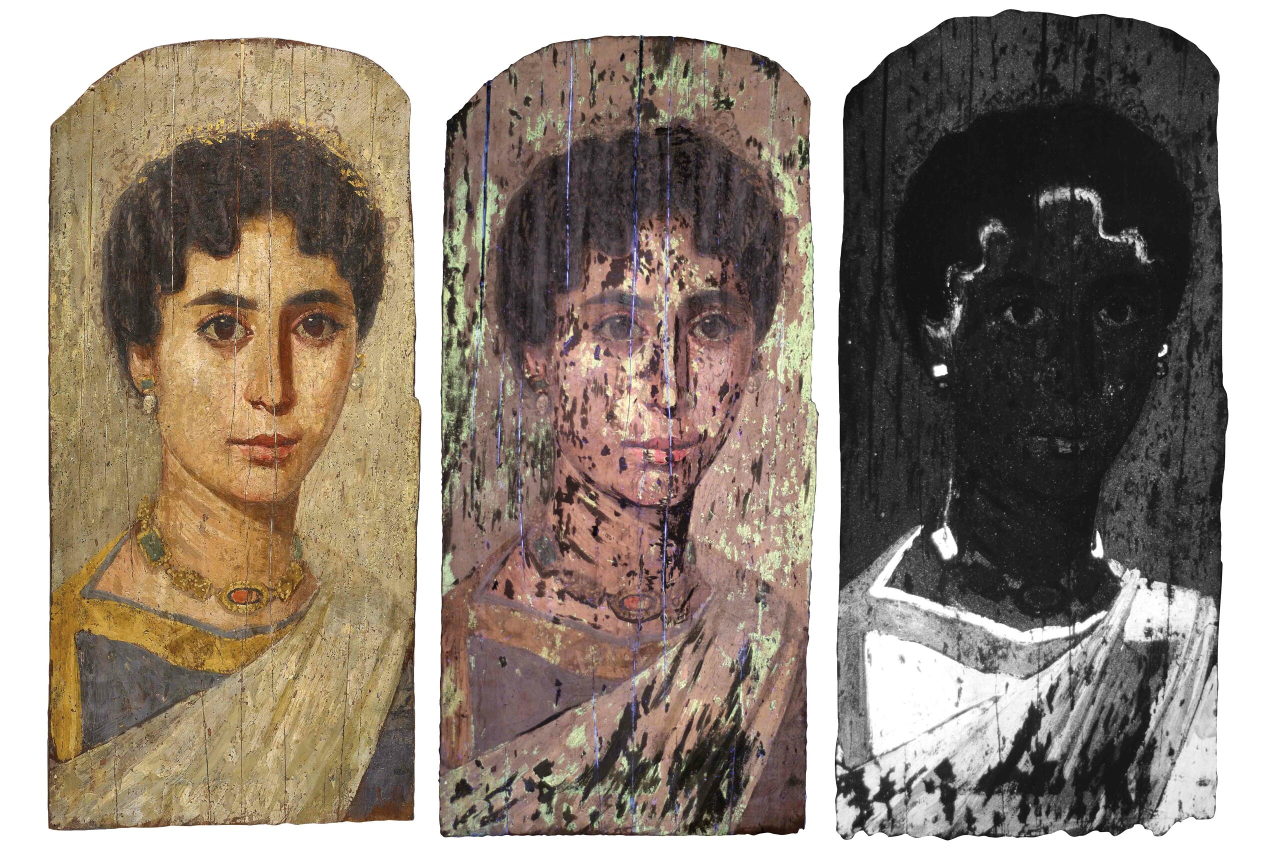 (© The Trustees of the British Museum)
 -
Letter from the Galapagos Islands January/February 2022
Transforming the Enchanted Isles
Archaeologists uncover the remote archipelago’s forgotten human history
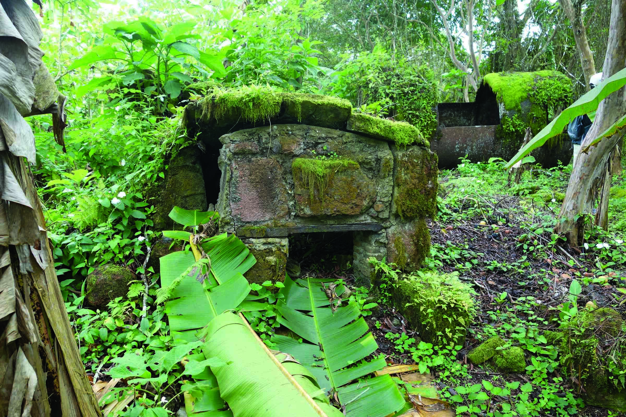 (Courtesy Historical Ecology of the Galapagos Islands Project)
 -
Artifacts January/February 2022
Roman Key Handle
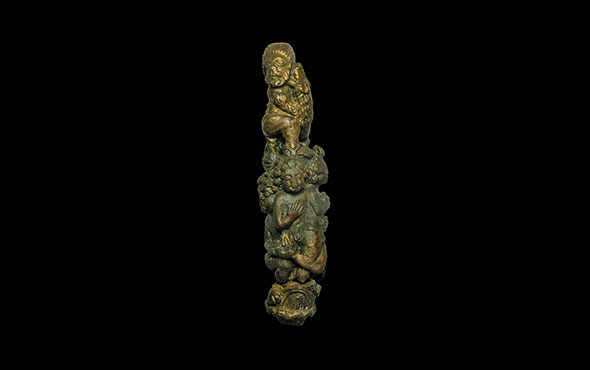 (University of Leicester Archaeological Services)
 -
Digs & Discoveries January/February 2022
The Roots of Violence
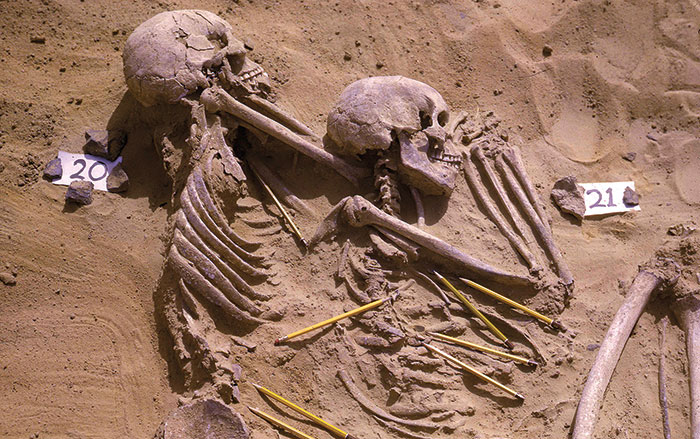 (Courtesy of the Wendorf Archives of the British Museum)