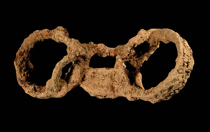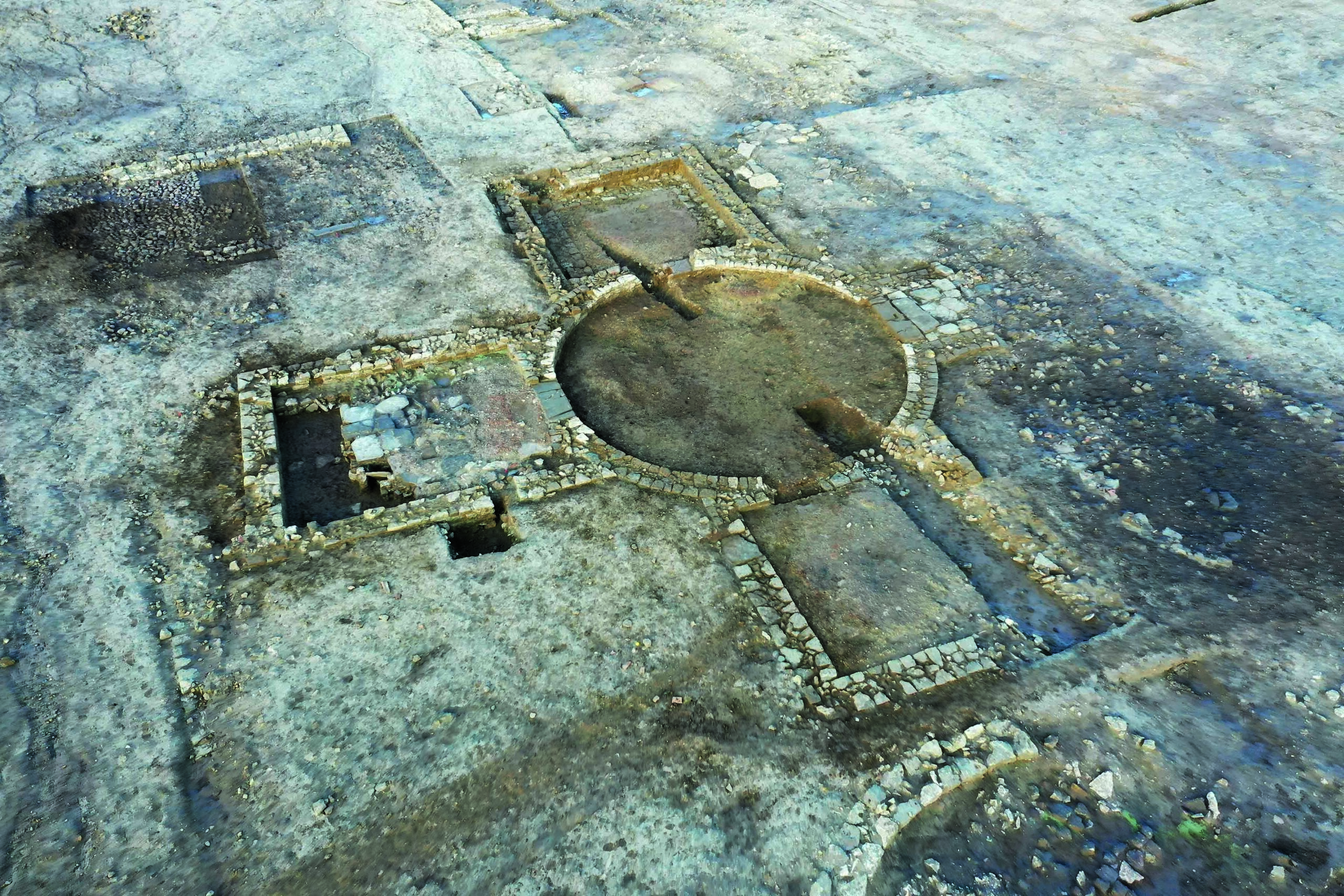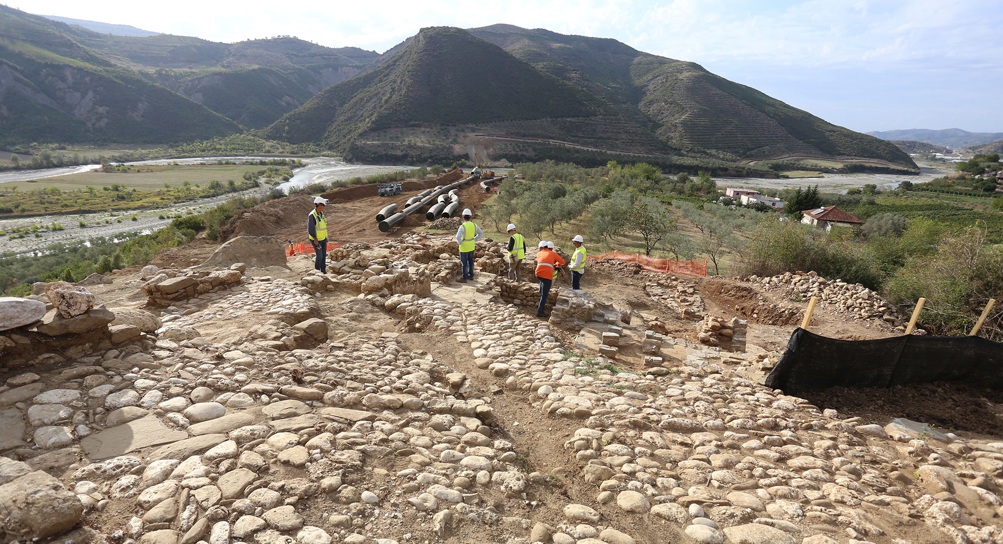
CAMBRIDGESHIRE, ENGLAND—According to a report in The Guardian, a range of discoveries were made in farmland now in the path of a highway bypass in East England. The discoveries included Neolithic trackways and henges; a Roman army camp, trade distribution center, and pottery kilns; and Anglo-Saxon villages and a boundary site with ditches, a gated entrance, and a beacon on a hill. The distribution of medieval villages suggests they sat along a Roman road now buried under the current highway system. Other villages were placed around the Neolithic barrows and henges, suggesting those monuments retained cultural significance. At one of the sites, located in what is now the village of Houghton, the archaeologists found that a medieval village of at least 12 buildings had been constructed over the remains of 40 Anglo-Saxon structures, including houses, workshops, and agricultural buildings. “The medieval village was occupied between the twelfth and early fourteenth centuries, and the most likely explanation for its abandonment was that they lost the use of their woods when they were enclosed as a royal forest,” said Emma Jeffery of Mola Headland Infrastructure. Once the village lost its grazing and foraging areas and its source of bark for tanning leather, it could no longer survive, she explained. For more on medieval England, go to “The Curse of a Medieval English Well.”


