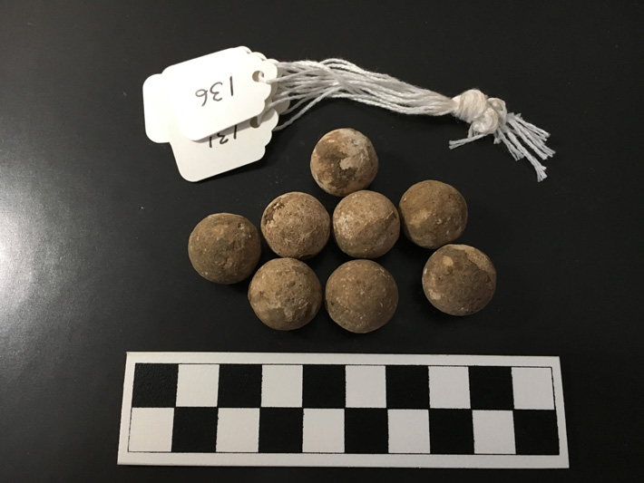
CHARLESTON, SOUTH CAROLINA—According to a report in The Post and Courier, archaeologist Mike Yianopoulos of the South Carolina Battleground Preservation Trust and his colleagues have pinpointed the site of the Battle of Tar Bluff, fought in August of 1782. The battle is remembered today as the place where John Laurens, an aide-de-camp to George Washington, and friend of Alexander Hamilton and the Marquis de Lafayette, was killed. Laurens, 140 infantrymen, and artillery soldiers equipped with a howitzer attempted to secure a section of the Combahee River in order to prevent British soldiers stationed in Charles Towne from looting nearby farms. But the British learned of the plan and ambushed the Americans. General Mordecai Gist and his reinforcements were too late to save Laurens, but they caught up with the British, leading to a draw between the two sides. Yianopoulos and his team members used GPS technology and metal detectors to map the locations of dropped and fired musket balls and other artifacts, including an Irish halfpenny dated to 1775, a bayonet, and British grapeshot. They then compared this information to a map of the battle drawn by a British officer, and a lidar image of the surface of the ground, which revealed the locations of two small creeks recorded on the map. The battlefield, which is located on private property, is one of 72 identified by the Trust. To read about a fortified American post during the Revolutionary War, go to "Off the Grid: Colonial Dorchester, South Carolina."